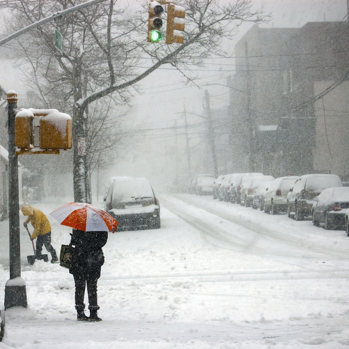
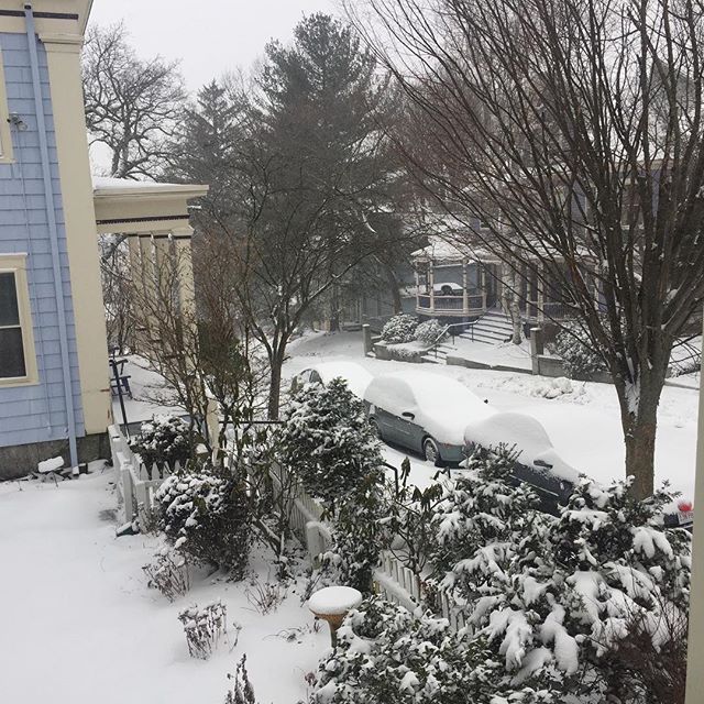
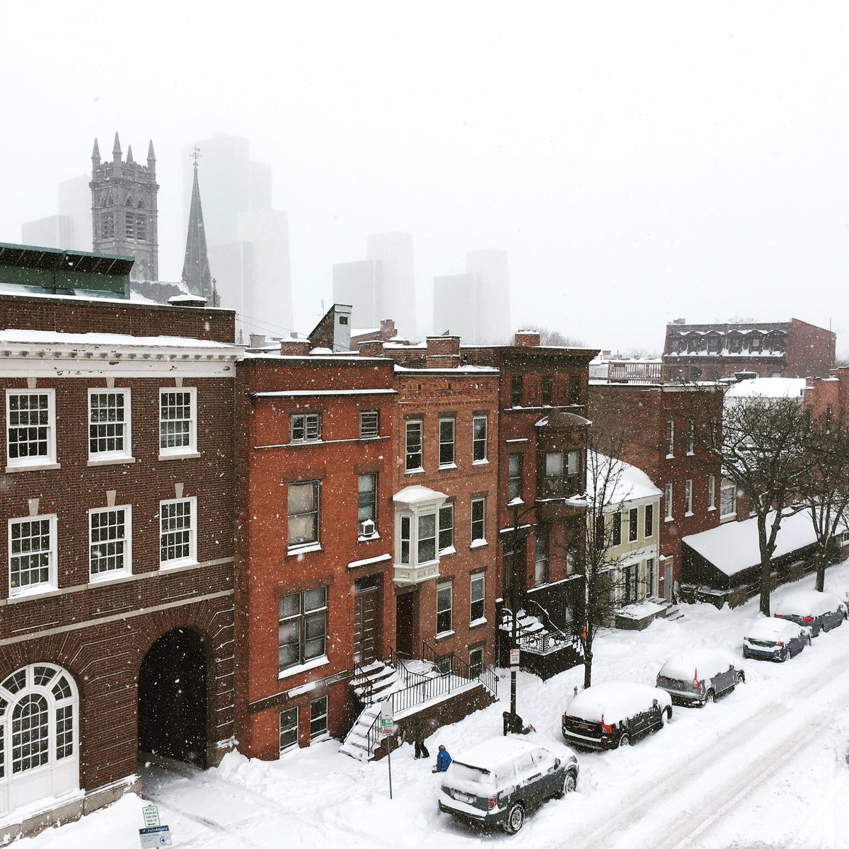
Major snowstorm bears down on Northeast; 3,000 flights canceled.
A powerful winter storm bearing down on the Northeast forced thousands of flight cancelations Thursday, snarling travel plans for fliers across the country as it threatened to dump more than a foot of snow.
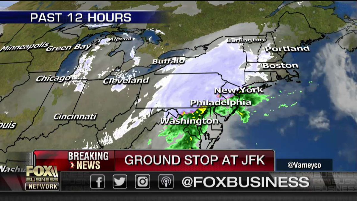
The airlines canceled more than 3,300 flights Wednesday through Friday, including more than 2,700 on Thursday, according to FlightAware.com. A ground stop at New York's JFK airport lengthened the delays. In addition, mergency officials warned of high winds, coastal flooding and possible power outages from New England down to Pennsylvania and New Jersey, in what could be the most powerful storm many in the region have seen all winter.
The Boston area and eastern Maine could get 12 to 18 inches of snow, according to the National Weather Service, which issued a blizzard warning for all of Long Island until 6 p.m. Eastern Long Island was bracing for 12 to 16 inches of snow, with a potential for power outages.
"The roads are in bad shape ... covered and icy," Suffolk County Police Commissioner Tim Sini said. He said snow was falling at up to 2 inches per hour and expected to intensify as the day went on.
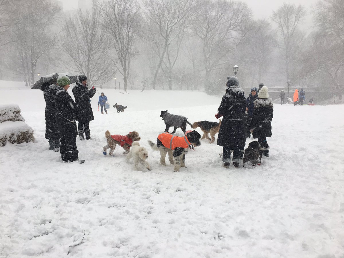
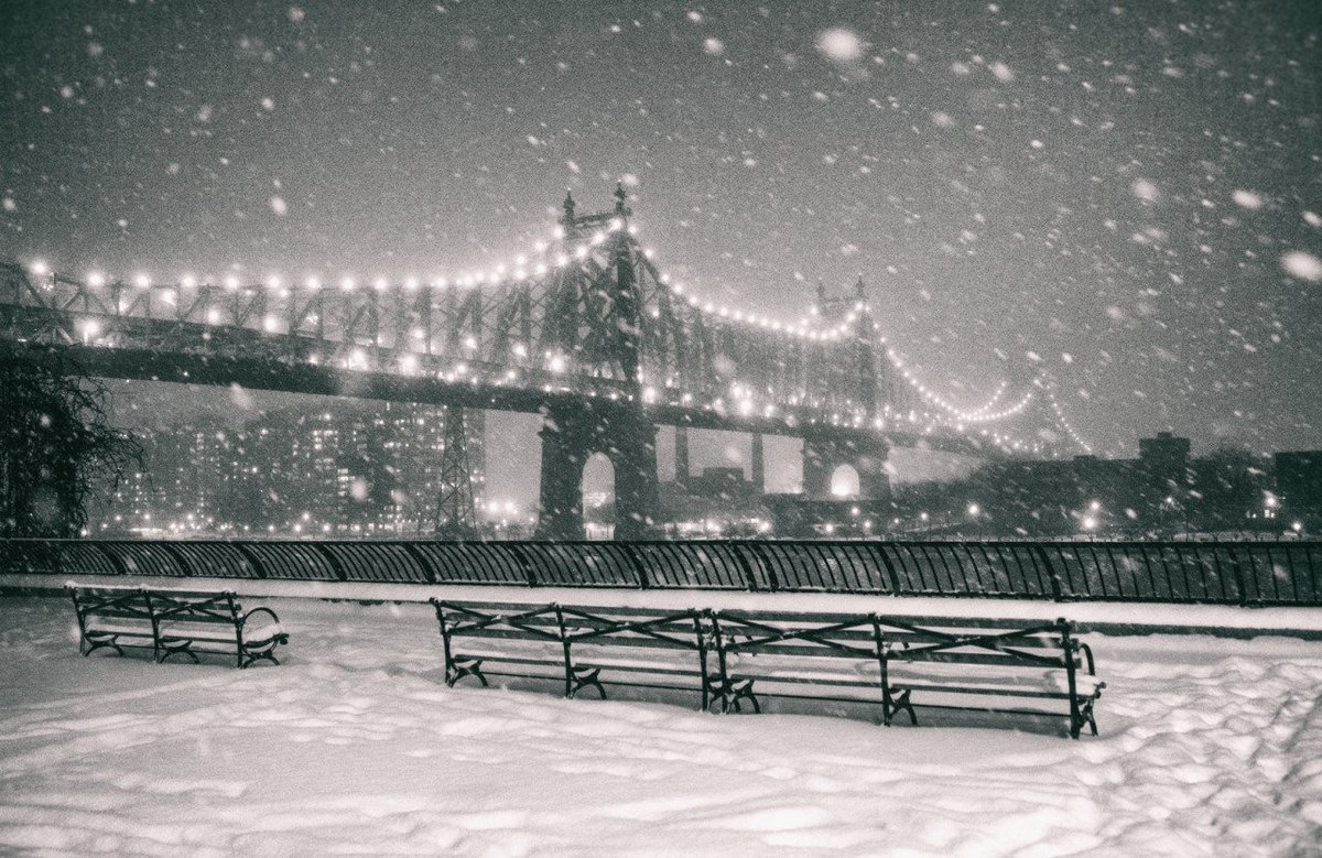
New York City could see 8 to 12 inches and the Philadelphia area 4 to 8 inches. Near whiteout conditions were possible, with the snow expected to fall at a clip of 2 to 4 inches per hour at its peak. Forecasters also said the winter storm could trigger thunder -- a phenomenon known as "thundersnow."
New York City Mayor Bill de Blasio said people should stay home. "If you need to go out, please, don't use your car," de Blasio said on NY1 television.
The storm was expected to last 6 to 10 hours, said Carl Erickson, a senior meteorologist with AccuWeather in State College, Pa. The snow was expected taper off by the early afternoon in the Philadelphia and New York City areas, but New Englanders may need to brace for snowfall through the evening commute.
A number of school systems already have canceled Thursday classes including New York City, Philadelphia and Boston.
“Don’t be surprised if some people start reporting rumbles of thunder, as the system is strengthening,” Brian Edwards, meteorologist with AccuWeather, told The New York Post. “Thundersnow happens when the cold air is rising very rapidly. It tends to take place on these rare occasions, when you have these big snow rates.”
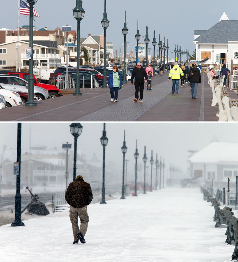
Commuters in the densely populated region awoke to windblown snow -- less than 24 hours after enjoying spring-like temperatures -- and faced slick highways.
Massachusetts activated its emergency management bunker in Framingham, where Gov. Charlie Baker was scheduled to provide updates on the storm at midday. Baker urged people to stay off the roads to allow plows and sanders to do their work.
State offices in New Jersey were closed, as were the courts in Massachusetts. Government offices in the Delaware, Bucks, Chester and Montgomery counties surrounding Philadelphia also were shuttered.
